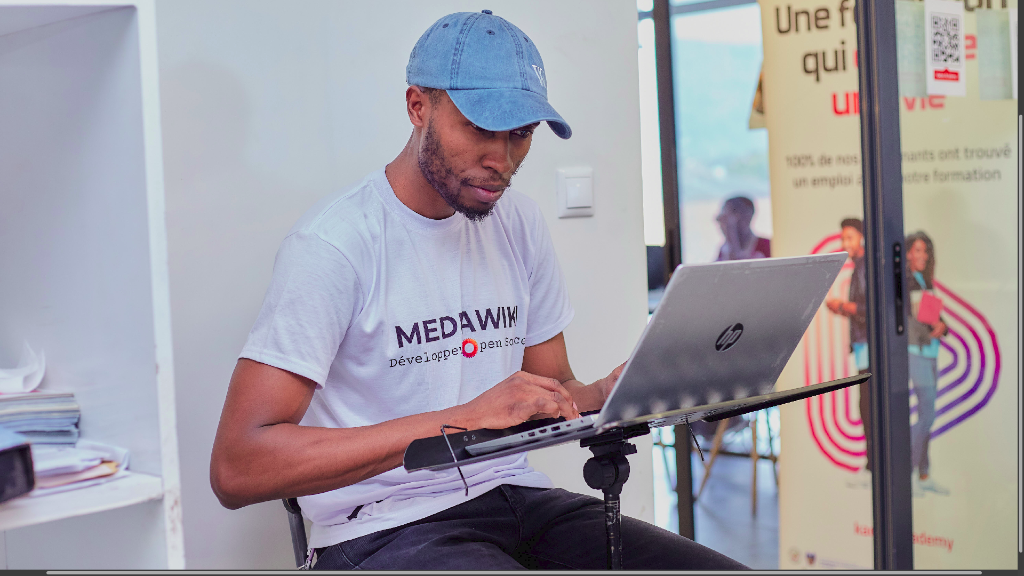
Hi, I'm Gérard Cubaka
|
Transforming raw geological data into AI-powered insights. Building the future of geospatial intelligence from Goma, DRC.
Who is Gérard?
I'm Gérard Cubaka Bisimwa, an Exploration Geologist and GeoAI Developer from Goma, North Kivu, DRC. I hold a Bac+5 in Exploration and Mining Geology from the Official University of Bukavu (UOB). Passionate about the intersection of earth sciences and artificial intelligence, I build tools that make geospatial intelligence accessible and actionable.
With expertise in RC and Diamond Drilling processes, I specialize in geological data acquisition, 3D deposit modeling with Surpac, and geostatistical resource evaluation. My geological foundation drives my ability to extract meaningful insights from complex spatial datasets.
- RC & Diamond Drilling Process
- 3D Geological Block Modeling (Surpac)
- Mineral Deposit Evaluation
- Geostatistical Analysis
I build AI-powered geospatial solutions using satellite imagery, deep learning, and cloud platforms. Founder of GeoCongo AI — a platform deploying foundation models (Prithvi, SAM2) for landcover classification, landslide detection, and mineral prospecting in Central Africa.
- Foundation Models (Prithvi, SAM2)
- Satellite Image Analysis (SAR/Multispectral)
- Google Cloud / Vertex AI Deployment
- Landcover & Change Detection
My Expertise
Exploration Geology
Mineral deposit assessment, RC/DD drilling, core description, 3D geological modeling and resource evaluation using industry-standard tools.
Remote Sensing & GeoAI
Processing SAR and multispectral satellite imagery, deploying foundation AI models for landcover mapping, change detection, and hazard assessment in Central Africa.
Software Development
Building full-stack web applications, REST APIs, and cloud-deployed AI services with modern frameworks and best practices.
Skills & Tools
Geosciences & Remote Sensing
 ArcGIS
70%
ArcGIS
70%
 IOGAS
60%
IOGAS
60%
AI & Development
Featured Projects
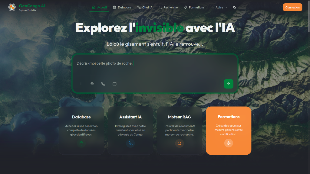
GeoCongo AI
AI-powered geospatial intelligence platform for Central Africa. Deploys foundation models (Prithvi, SAM2) for landcover classification, landslide detection, and mineral prospecting using satellite imagery on Google Cloud Vertex AI.
Regolith & Alteration Mapping
Satellite-based spatial analysis for detecting hydrothermal alteration zones and mapping regolith.
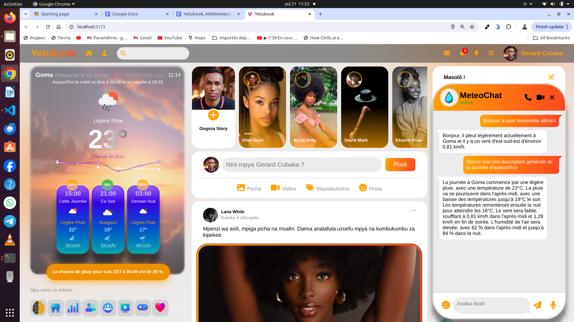
Yetubook
Social network integrating Earth Observation for disaster prevention, climate awareness, and sustainable development.
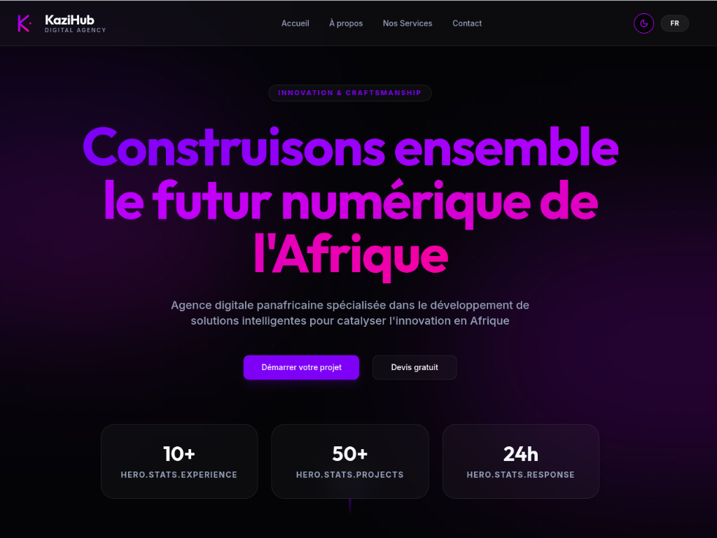
KaziHub Digital Agency
Co-founded KaziHub, a digital agency building web and mobile solutions for businesses across Central Africa.
👋 Hey! Want to know more about me?
Gérard AI EN
Online
Let's Collaborate
Whether you need geospatial analysis, GeoAI development, or want to collaborate on a research project — I'm open to opportunities worldwide.